America's lookout tower
The first, largest, and only operational wildland fire satellite network

America's lookout tower
The first, largest, and only operational wildland fire satellite network
Track record
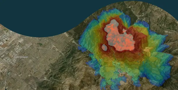
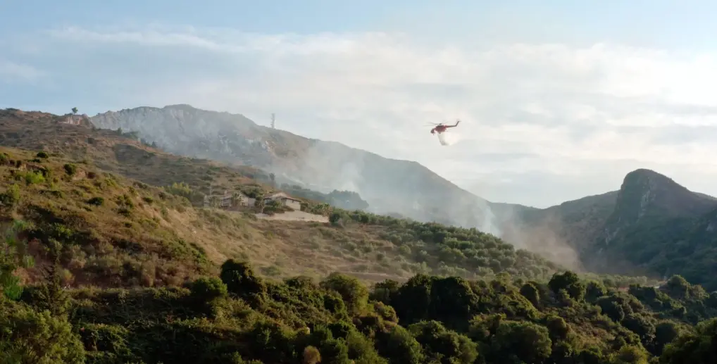
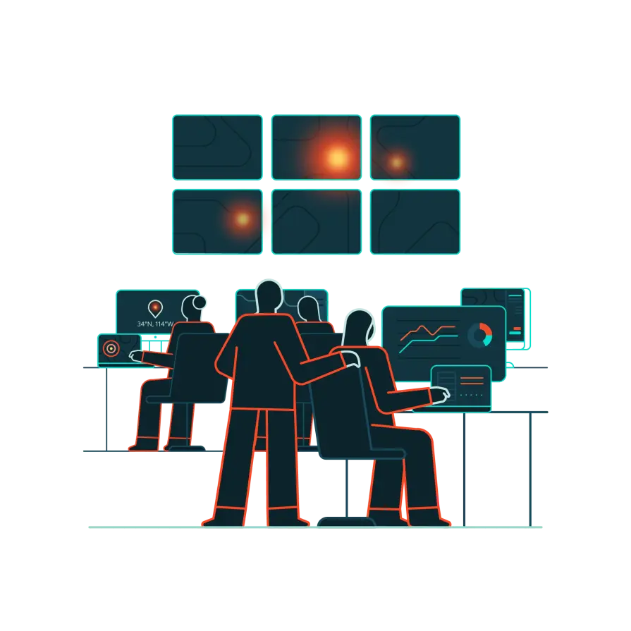
We deliver thorough, precise overwatch of your territory. See how our partners and customers spot remote ignitions, track active perimeters, predict spread, and innovate incident response.
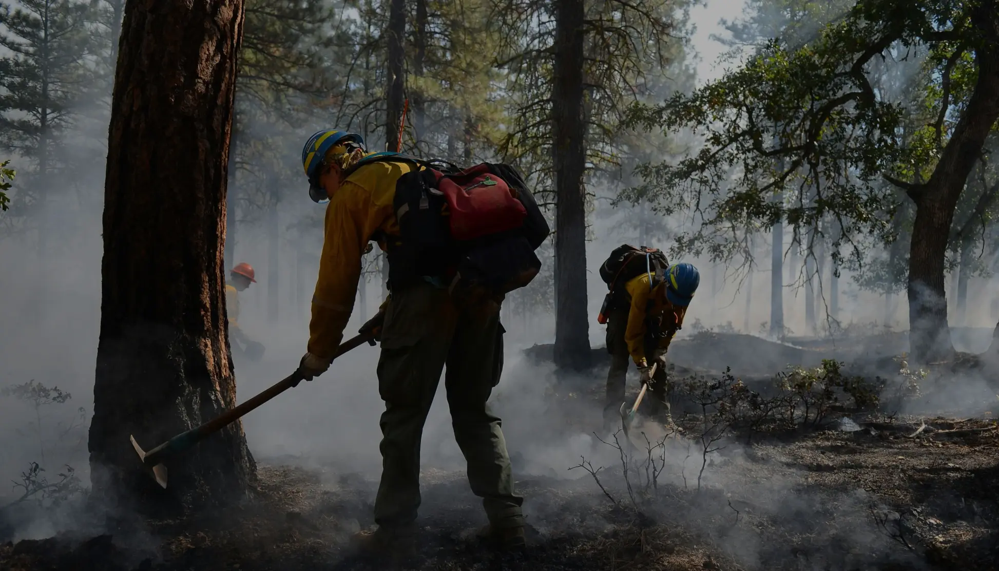
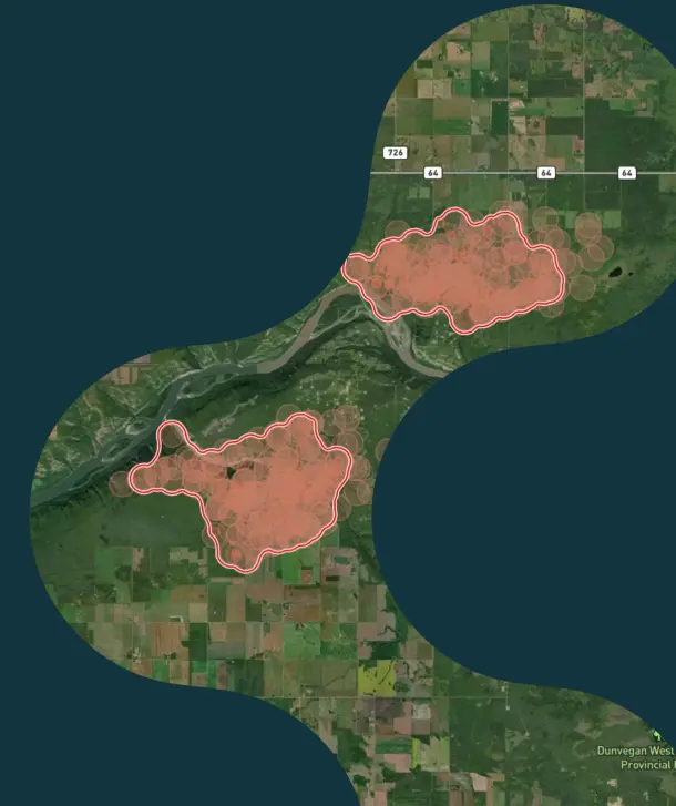
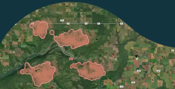
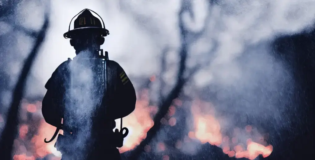
Arkansas Forestry innovates
A successful trial by the Forestry Division found new ways to solve old problems in wildland firefighting.
OroraTech team
Beyond early detection: How Arkansas Forestry is using space-based tech for innovative wildfire management
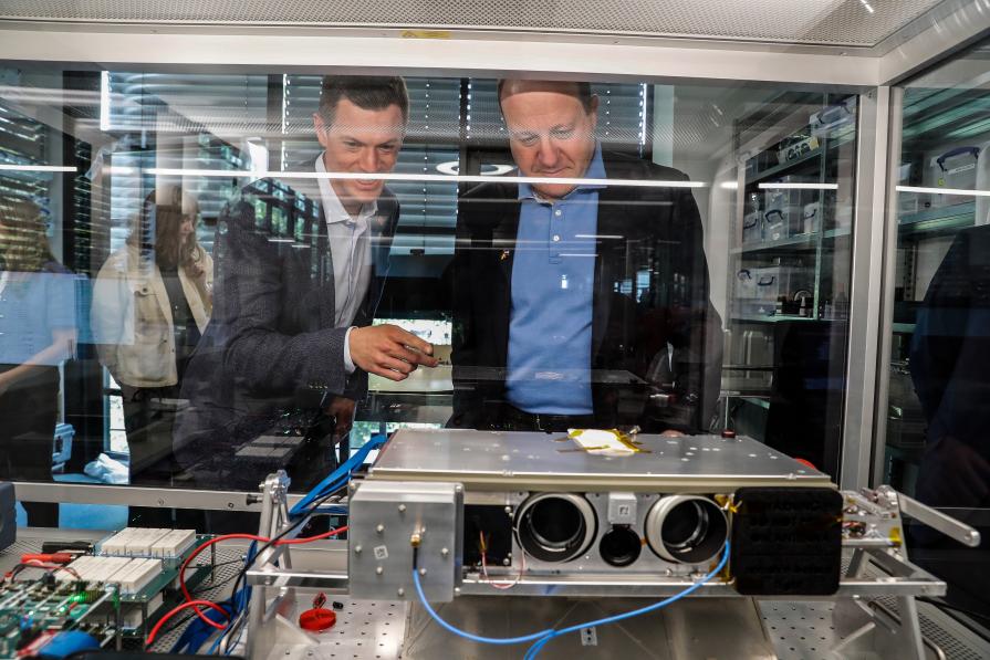

Governor Polis recognizes Ororatech as a friend to Colorado
Colorado Governor Jared Polis led a delegation to OroraTech's Munich office to recognize the investment and service the company has delivered for Colorado and its wildland firefighters.

Colorado Office of the Governor
Colorado Governor Polis tours OroraTech facilities
Our portfolio
By unifying and growing a constellation of fire satellites, we provide the best possible data to wildland firefighters.
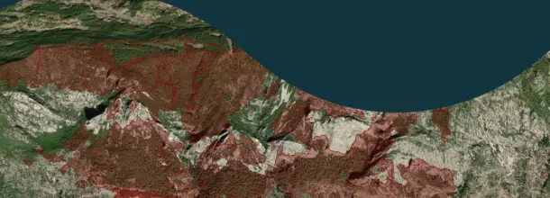
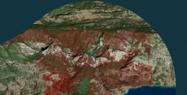
Incident Detection & Mapping
Fire Spread
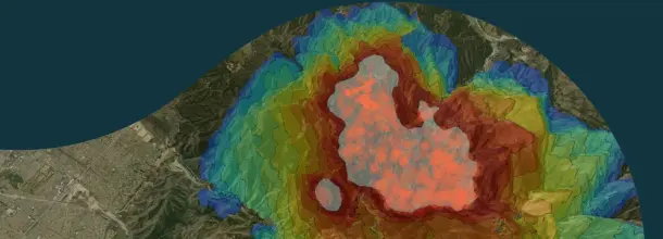
Analytics
Your industry, our support
From protecting wildlands and watersheds to safeguarding communities and critical infrastructure, our actionable intelligence empowers incident commanders, fire crews, and emergency managers, enabling swift, data-driven decisions on the fireline.
Emergency management
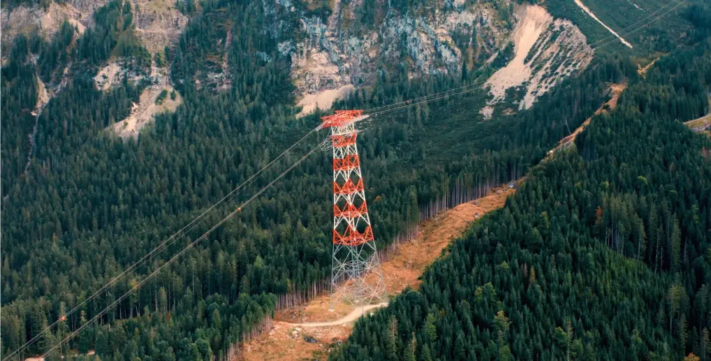
Infrastructure & energy
Forestry

Carbon
From space to the fireline: The satellite technology powering our wildfire intelligence
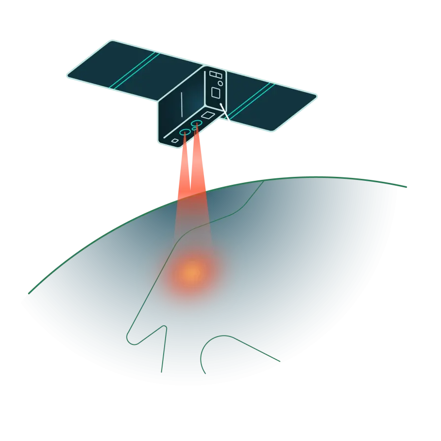
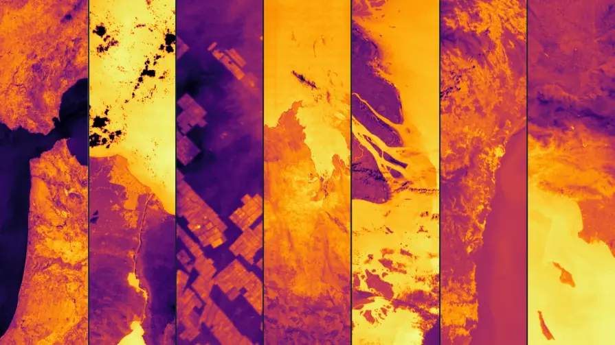
Our proprietary thermal sensors
Our space-based sensors detect heat instead of visible light, pinpointing fire outbreaks under any conditions — day, night, or through smoke. Each pixel in our system measures temperature, helping us differentiate fire events from other heat sources.
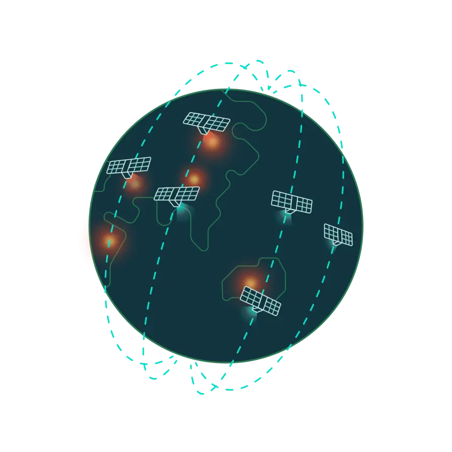
Next-gen sensor network in space
These sensors are on board of OroraTech’s satellite constellation in Low Earth Orbit (LEO), providing continuous global coverage. The sensors in our network circle the Earth multiple times a day, gathering high-resolution data. This approach offers a constant data stream, and with many satellites working together, we eliminate coverage gaps.
AI-driven data analytics
Once captured, the data is processed by our advanced, fire-optimized AI algorithms. These algorithms analyze heat signals in real time to detect fires, filter out false positives, and predict fire spread.
Our proprietary thermal sensors
Our space-based sensors detect heat instead of visible light, pinpointing fire outbreaks under any conditions — day, night, or through smoke. Each pixel in our system measures temperature, helping us differentiate fire events from other heat sources.
Next-gen sensor network in space
These sensors are on board of OroraTech’s satellite constellation in Low Earth Orbit (LEO), providing continuous global coverage. The sensors in our network circle the Earth multiple times a day, gathering high-resolution data. This approach offers a constant data stream, and with many satellites working together, we eliminate coverage gaps.
AI-driven data analytics
Once captured, the data is processed by our advanced, fire-optimized AI algorithms. These algorithms analyze heat signals in real time to detect fires, filter out false positives, and predict fire spread.
Connect with us today
Let’s talk! Whether you’re here to book a demo, explore partnerships, or talk to our press team, we’re just a message away.
Read the latest OroraTech news & updates
Beyond early detection: How Arkansas Forestry is using space-based tech for innovative wildfire management
Arkansas Forestry Division Raises Bar of Fire Tech, Completing OroraTech Trial