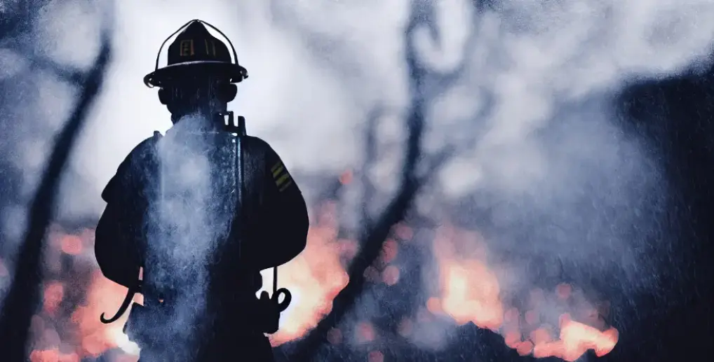
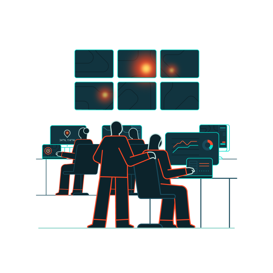
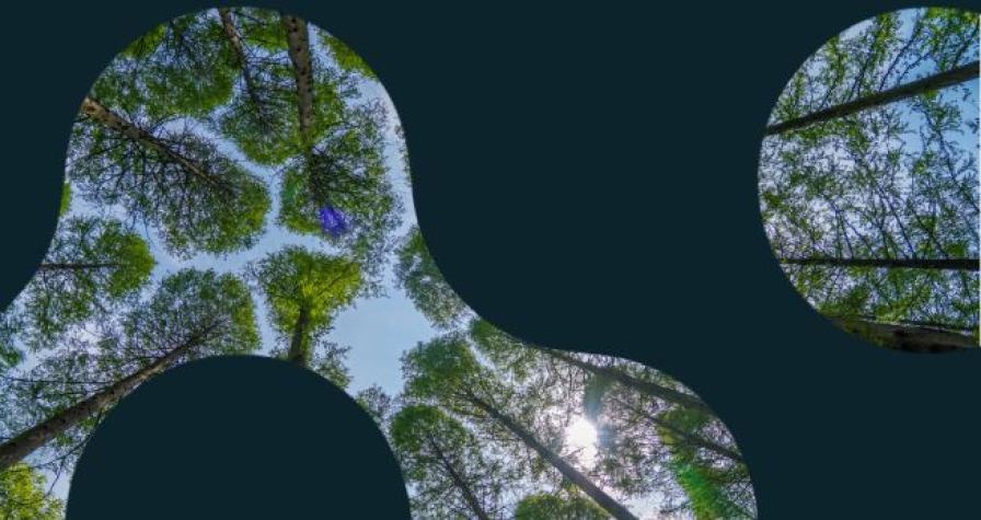
Empowering everyday heroes with nationwide wildfire data
With the premier wildfire satellite network and the leading wildfire management platform, we equip organizations across the U.S. with the tools to combat worsening challenges: protecting forests, communities, infrastructure, and vital ecosystems through advanced technology and actionable intelligence.
Explore our product portfolio
From early detection with our Wildfire Solution platform to predictive fire spread insights and detailed burn area analysis, our technology supports every phase of emergency management—preparedness, response, recovery, and mitigation. Designed for seamless integration, our solutions enhance wildfire management at every stage.
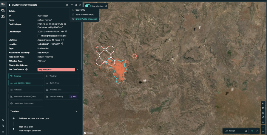
Wildfire Solution
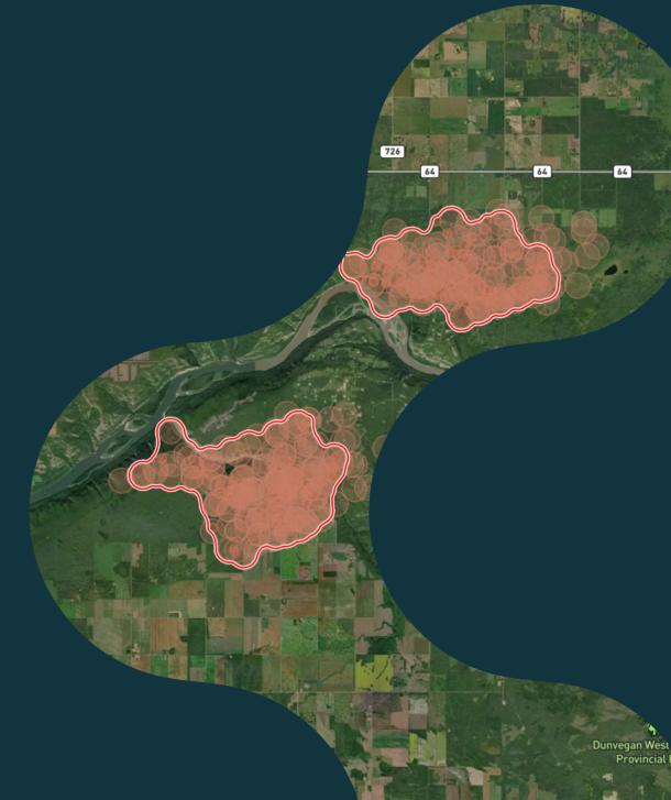
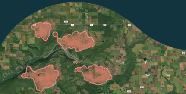
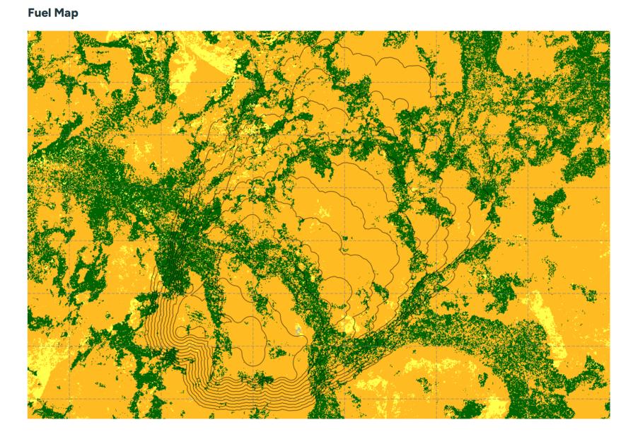
Fire Spread


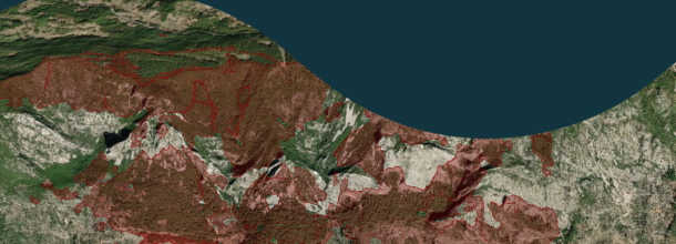
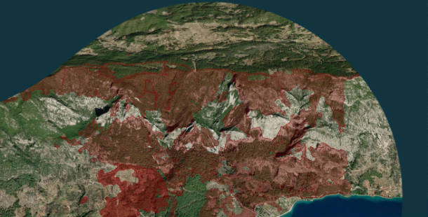
Burnt Area
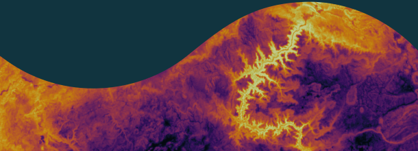
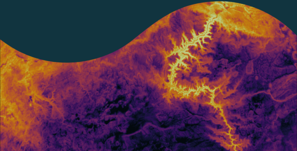
Land Surface Temperature
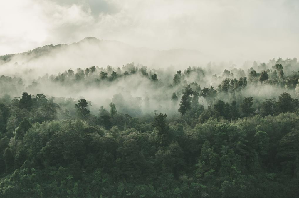
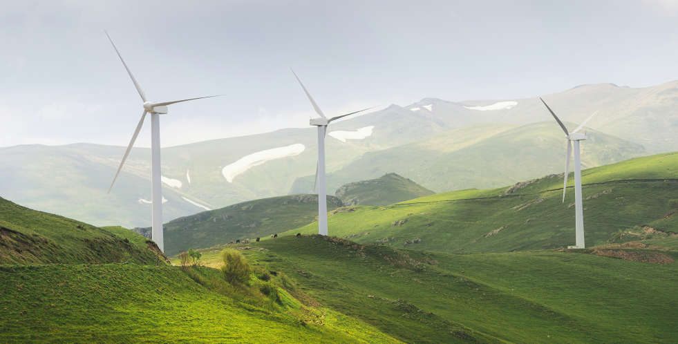
Your industry, our expertise
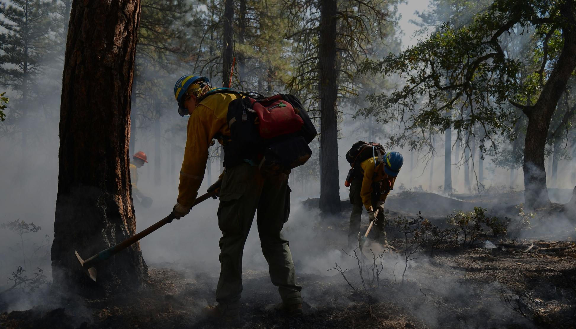
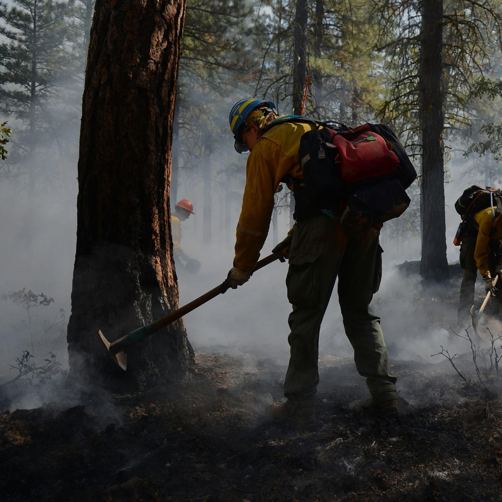
From protecting wildlands and watersheds to safeguarding communities and critical infrastructure, our advanced technology and actionable intelligence empower incident commanders, fire crews, and emergency managers enabling swift, data-driven decisions on the fireline.
Emergency management
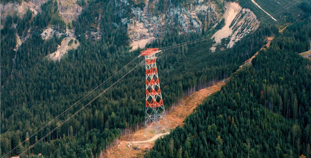
Infrastructure & energy
Forestry
Carbon
Climate
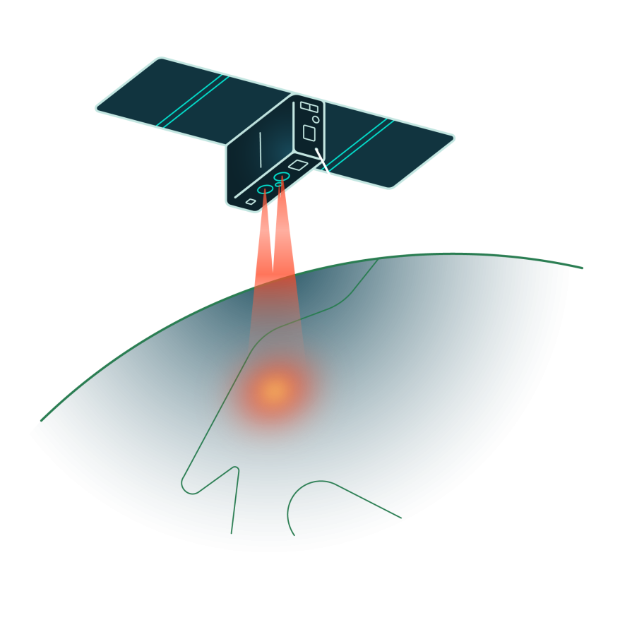
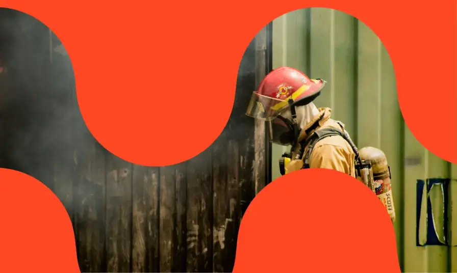
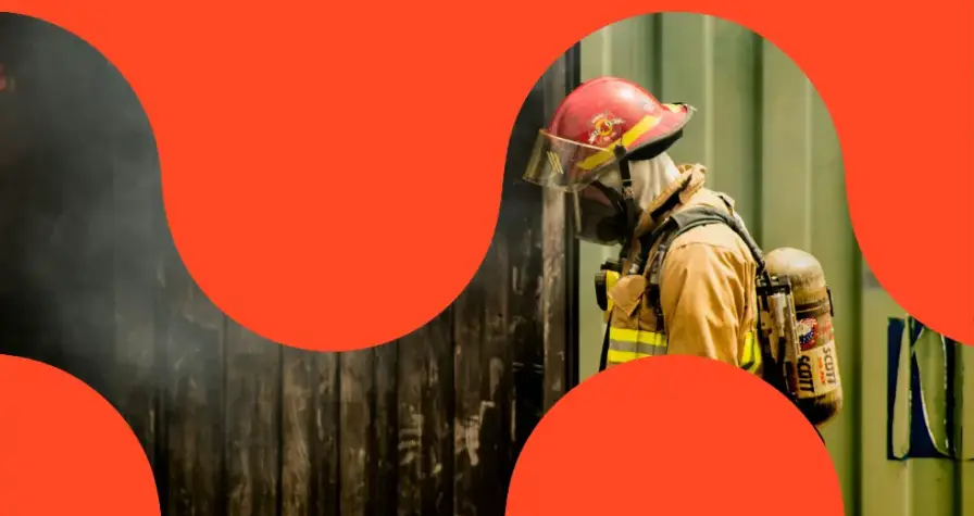
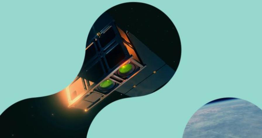
From space to the fireline: The satellite technology powering our wildfire intelligence
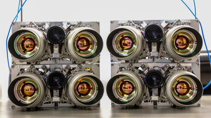
Our thermal infrared camera technology
Our space-based sensors detect heat instead of visible light, pinpointing fire outbreaks under any conditions — day, night, or through smoke. Each pixel in our system measures temperature, helping us differentiate fire events from other heat sources.
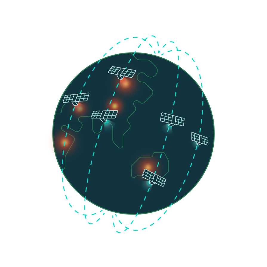
Next-gen sensor network in space
These sensors are on board of OroraTech’s satellite constellation in Low Earth Orbit (LEO), providing continuous global coverage. The sensors in our network circle the Earth multiple times a day, gathering high-resolution data. This approach offers a constant data stream, and with many satellites working together, we eliminate coverage gaps.
AI-Driven data analytics
Once captured, the data is processed by our advanced AI algorithms. These algorithms analyze the heat signals in real-time to detect fires, filter out false positives, and predict fire spread.
Our thermal infrared camera technology
Our space-based sensors detect heat instead of visible light, pinpointing fire outbreaks under any conditions — day, night, or through smoke. Each pixel in our system measures temperature, helping us differentiate fire events from other heat sources.
Next-gen sensor network in space
These sensors are on board of OroraTech’s satellite constellation in Low Earth Orbit (LEO), providing continuous global coverage. The sensors in our network circle the Earth multiple times a day, gathering high-resolution data. This approach offers a constant data stream, and with many satellites working together, we eliminate coverage gaps.
AI-Driven data analytics
Once captured, the data is processed by our advanced AI algorithms. These algorithms analyze the heat signals in real-time to detect fires, filter out false positives, and predict fire spread.
The numbers that tell our story
Every number has a story, and ours reflect our journey, impact, and mission to revolutionize wildfire detection and protection. From groundbreaking innovations to the lives we help safeguard, these numbers highlight how OroraTech is making a difference worldwide. Discover the milestones that define who we are and where we’re headed.
Users in 25 countries
Employees on 4 continents


Hectares of monitored area
Satellite sources

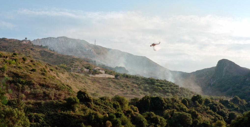
Where it mattered most: how our solution made the difference
Browse powerful examples of how OroraTech made a difference when it mattered most. From detection to response, these stories show the real impact of timely insights.
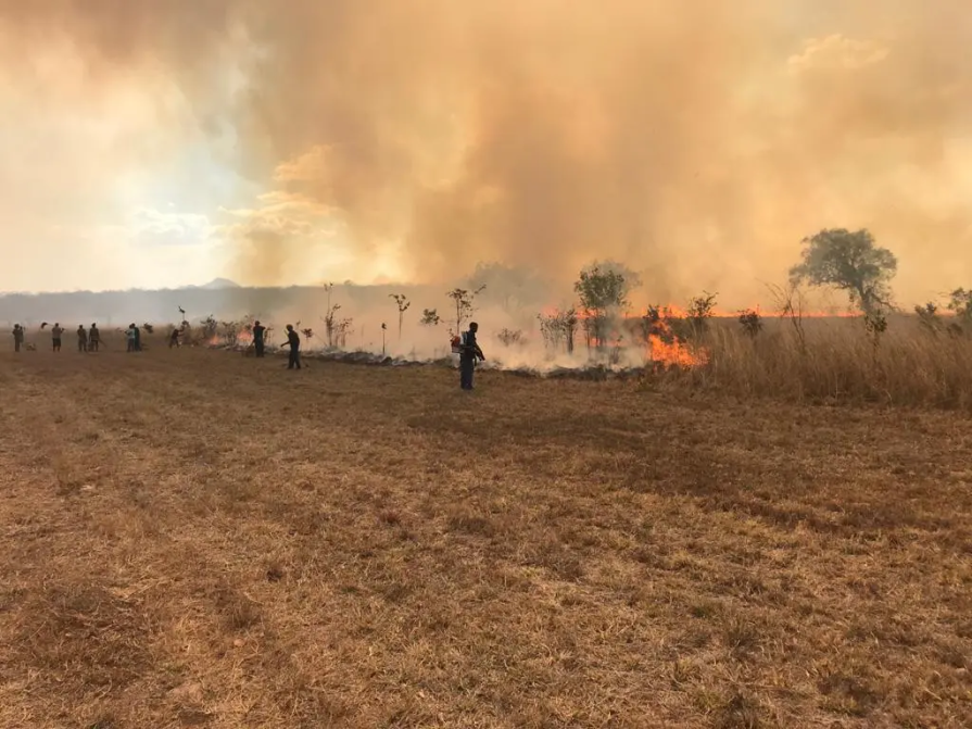
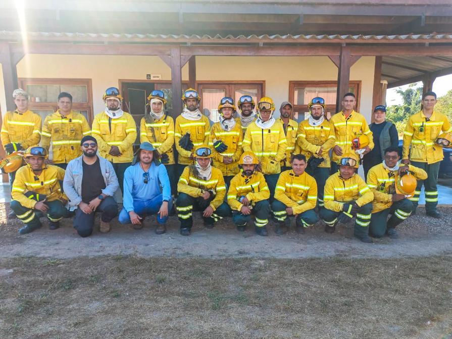
US Forest Service - Niassa National Reserve
"The Niassa Special Reserve in northern Mozambique faces a huge problem of forest fires that every year cause environmental, social, and economic damages. Thanks to OroraTech's WFS we are able to monitor the wildfires as well as gather the information needed to analyze their spatio-temporal pattern which is a very important component for the designing of an integrated fire management plan to address this problem within this conservation area."

Leonel M., Field Specialist
On a Mission To Save the Niassa Special Reserve: Home of the Last Great Elephant Population
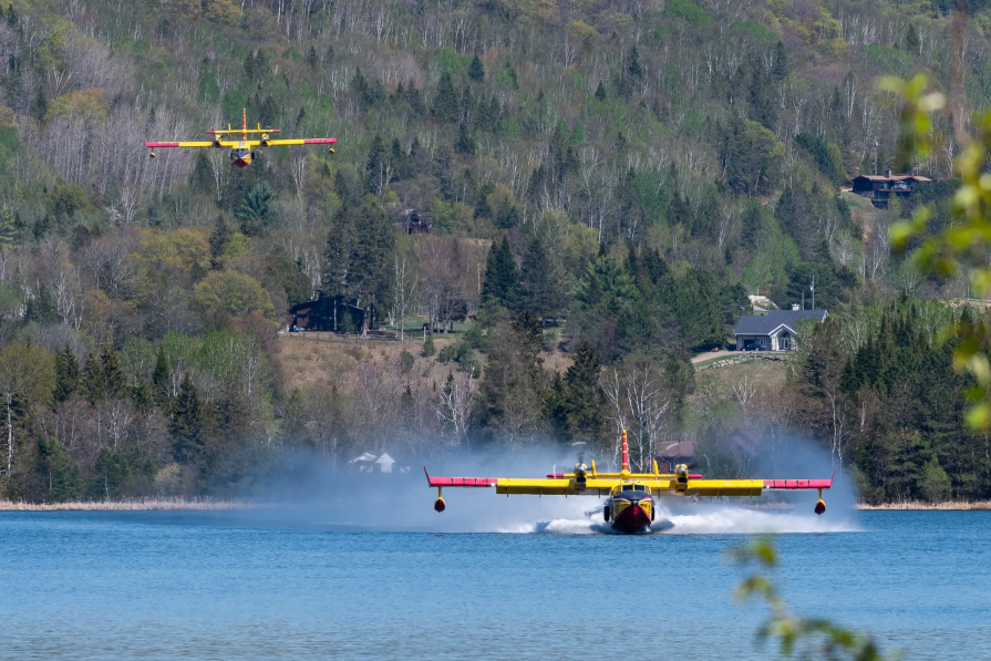
SOPFEU Quebec
"We map fires from space when other methods are not possible. OroraTech's Wildfire Solution is an operational mindshift. We never had success with the satellite based data before. In 2023, OroraTech became the main information source for fire detection and monitoring to maintain situational awareness."

Mathieu P., Director of Aviation Services
OroraTech & SOPFEU Working Together to Protect the Unique Forests of Quebec from Wildfires
Permian Global
"In Brazil’s Rio Cautário project, we managed to reach zero fires in the protected area thanks to the combination of community training and satellite alerts from OroraTech. That progress also helped us improve our project rating from A to AA, increasing both the value and credibility of our carbon credits."

Javier R., Remote Sensing Analyst
Connect with us today
Let’s talk! Whether you’re here to book a demo, explore partnerships, or talk to our press team, we’re just a message away.
Read the latest OroraTech news & updates
OroraTech and Kepler to Launch World’s First Thermal Livestream of Earth
From simulation to shareable insights: introducing Fire Spread reports