Complete intelligence for preparation and recovery
Assess and compare every single incident you managed, up to twelve months in the past.
Complete intelligence for preparation and recovery
Assess and compare every single incident you managed, up to twelve months in the past.
Every incident, compared
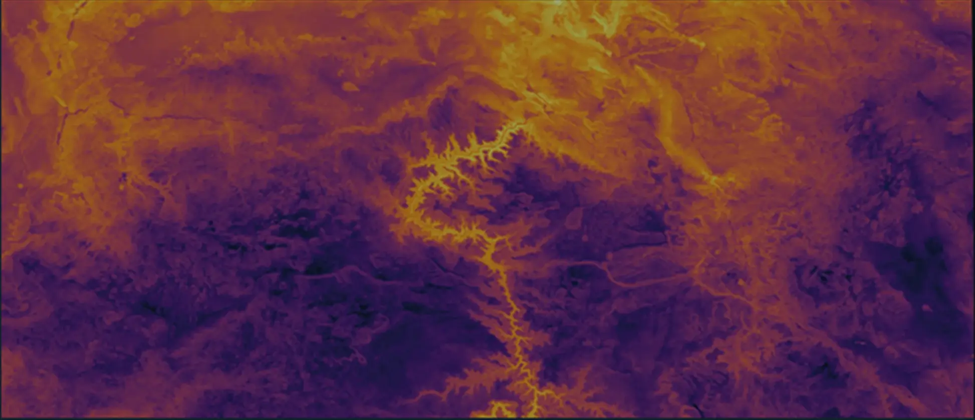
Analyze fires across one or multiple territories as you chart factors like frequency and affected area. Narrow down your data to answer questions on incident classifications, most active months, and acreage burned.
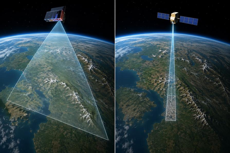
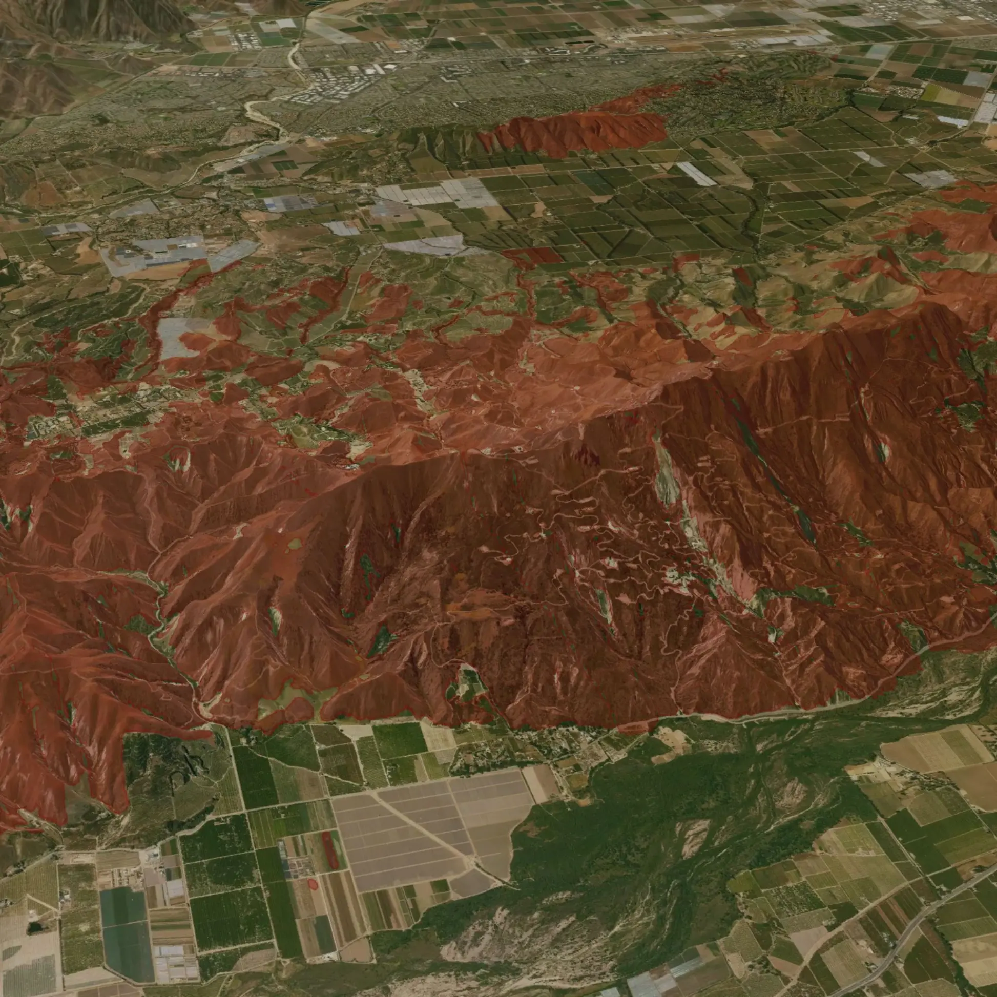
Gain a comprehensive view of fire-impacted regions

Fast turnaround
After setting your monitored areas, receive ongoing, responsive reports anytime you need them.

High-level insights
Compare incidents by size, type, timing, and detection confidence as you chart growth over time.

Cost-effective alternative
Save your aerial budget for other priorities with a faster, more affordable satellite-based fire damage assessment.

Detailed information for enhanced analysis
Track fire progression with precise timestamps, enabling better mitigation and recovery planning.
Trusted by industry leaders across the globe
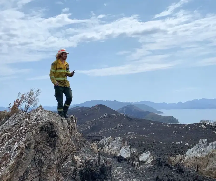
Tasmania Parks & Wildlife Service
"We were seeking a platform that could help us detect bushfires early. We have found OroraTech to be a great fit for our needs and it is aligned with our organization's mantra of - early detection and rapid response. While others provide satellite data, what sets OroraTech apart is its start-up culture, excellent customer liaison team, and commitment to meeting our needs. Members of the OroraTech team listen to our needs and are consistently improving the platform, we look forward to future developments and enhancements!”

Richard D., Fire Operations Manager
OroraTech & Tasmania Parks and Wildlife Service: Preserving Tasmania's Ecological and Cultural Heritage with Remote Sensing
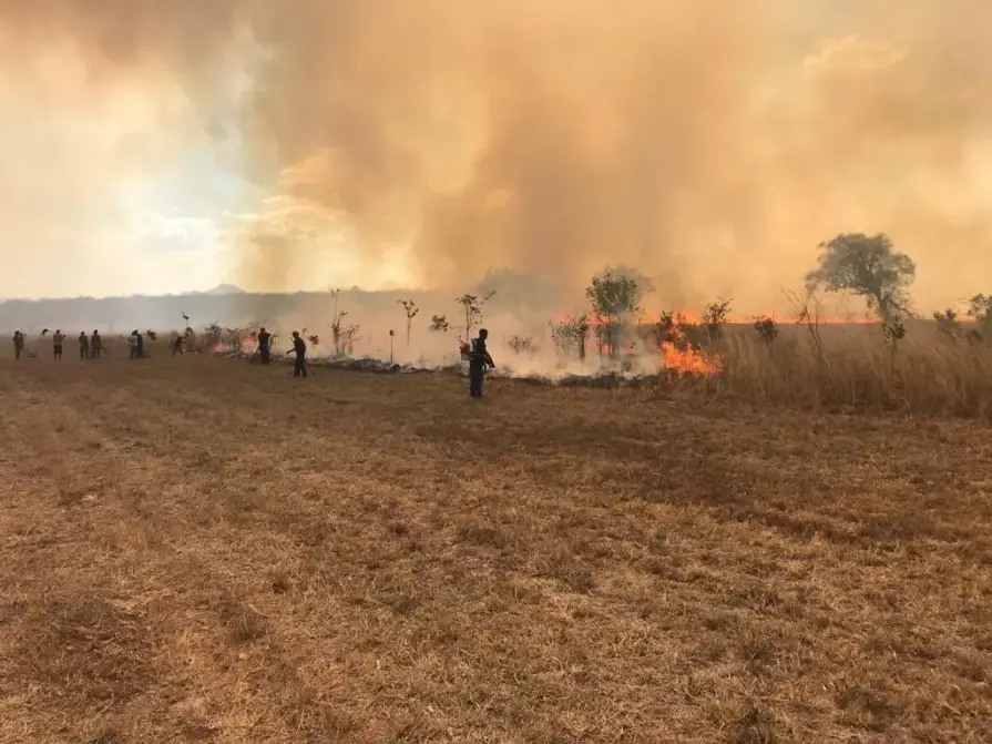
US Forest Service - Niassa National Reserve
"The Niassa Special Reserve in northern Mozambique faces a huge problem of forest fires that every year cause environmental, social, and economic damages. Thanks to OroraTech's WFS we are able to monitor the wildfires as well as gather the information needed to analyze their spatio-temporal pattern which is a very important component for the designing of an integrated fire management plan to address this problem within this conservation area."

Leonel M., Field Specialist
On a Mission To Save the Niassa Special Reserve: Home of the Last Great Elephant Population
Detailed fire damage data, anytime, anywhere
We understand the importance of timely fire damage data. Speak to an expert today to learn how OroraTech’s Burnt Area product can support your industry’s specific challenges, from faster recovery times to data-driven decision-making.