Products
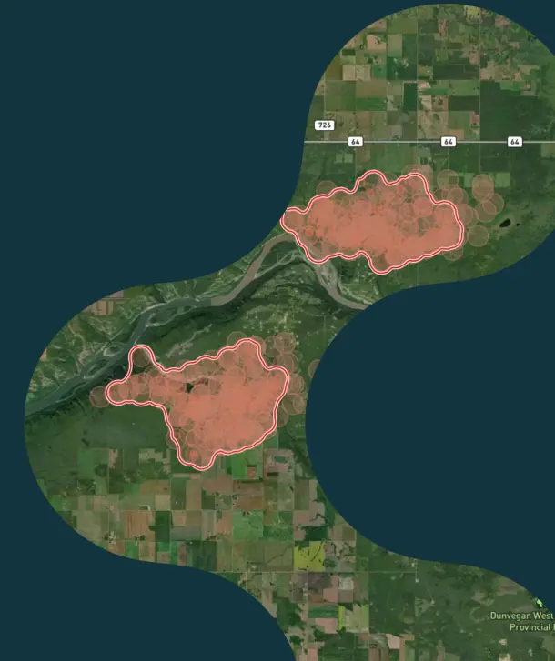
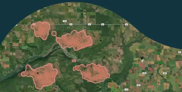
Incident Detection & Mapping
Spot, monitor, and manage fires in one collaborative tool. Reliable data is combined from 50+ satellite and ground sources, then improved with first-in-class fire algorithms. Set up solutions to fit fire managers, incident commanders, and land agencies with real-time, actionable insights.
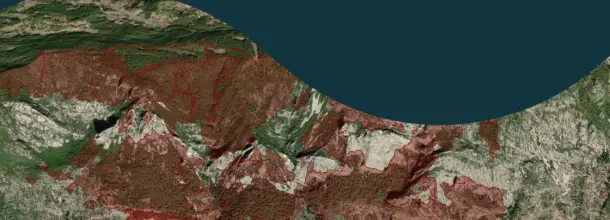
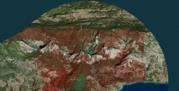
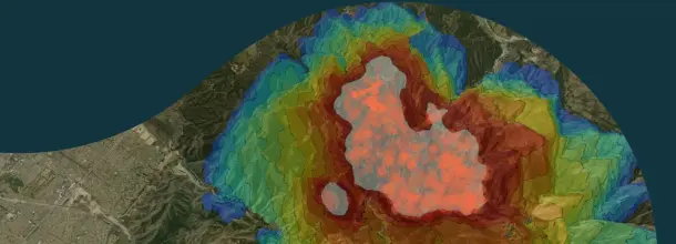
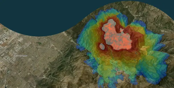
Fire Spread
Get quick, advanced predictions on where a fire will move. In-depth and summarized data helps you position your responders exactly where you need them to go.
Analytics
Maintain a full overview of the fires in your territories, up to twelve months in the past. Compare the acreage and severity of incidents, frequency of burns, and activity per month.